Archaeology Museum
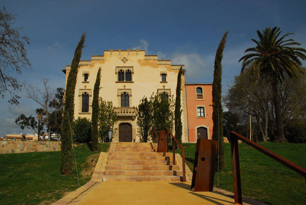
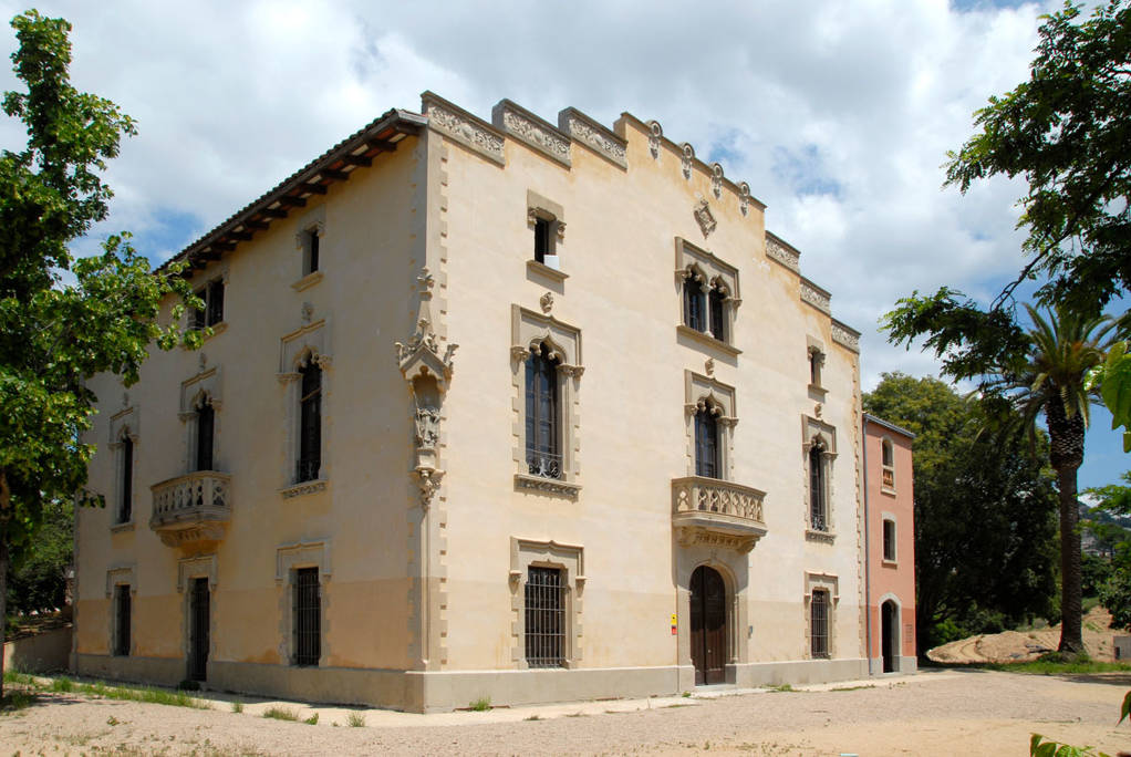
Can Saragossa
Did you know that?
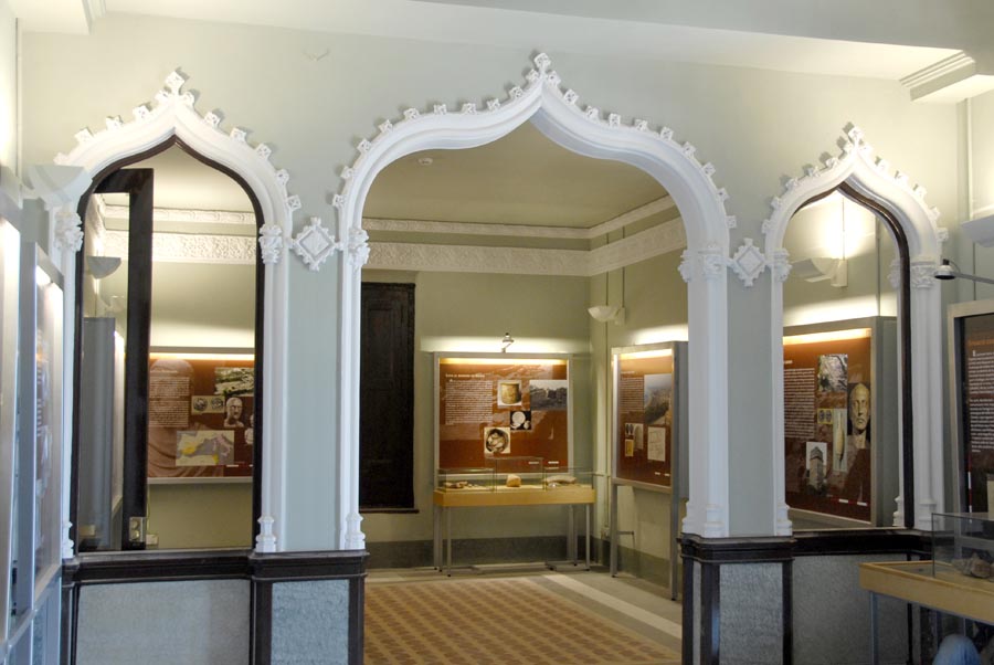
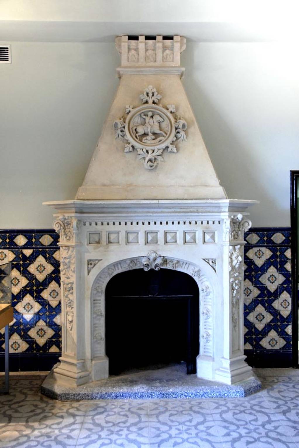
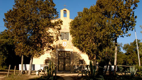
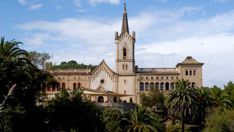
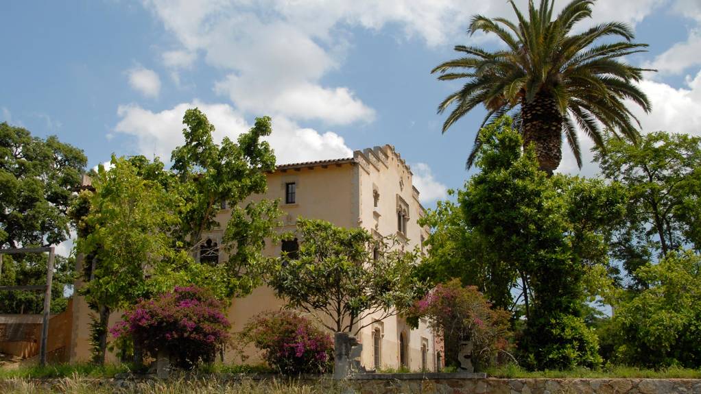
Can Saragossa can be classified within the neo-Gothic trend of modernist architecture. The house was remodelled in 1902, as indicated by the stone plaque on the main façade. The refurbishment was commissioned by Narcís Saragossa Ametller, owner of the farmhouse from 1895, whose initials are inscribed on the arch above the main door.
The history of the Can Saragossa farmhouse is synonymous with the history of the town of Lloret. As a working farmhouse it was one of the oldest in the town. After undergoing a modernist refurbishment in the 19th century it became a luxury summer residence before being turned into a hotel in 1954. It now houses the permanent Iberian archaeology exhibitions and the extensive Joan Llaverias collection. Its rooms also house the headquarters of the Cultural Heritage Unit, among others, of Lloret de Mar Town Council.
Chronology of a farmhouse with plenty of history
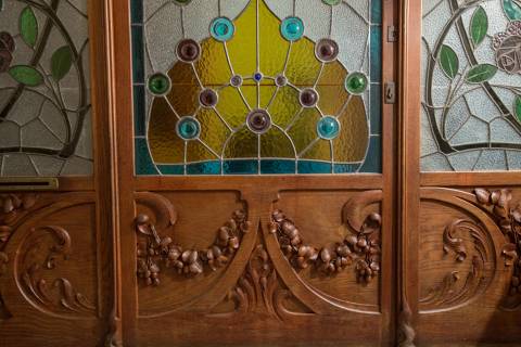
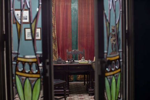
The earliest mention of the farmhouse dates from 1317. At that time, the municipal district of Lloret was made up of 26 farmhouses and 9 huts, scattered throughout the territory. The Black Death did not spare Catalonia and many farmhouses were abandoned. Fortunately, Can Saragossa was not one of those affected. An inventory dating from 1631 provides information on the distribution of the farmhouse, as well as on its livestock and crops: fruit trees, corn, kidney beans, chickpeas, broad beans and cabbage. In 1885, Narcís Saragossa Ametller, a surgeon, inherited the property. He commissioned the remodelling of the building and the works were completed in 1902. The refurbishment gave the building the feel of a small modernista palace, in the neo-Gothic revivalist style so fashionable at the turn of the 20th century. It marked the start of a golden age for Can Saragossa in the form of luxury parties, fancy-dress balls and tennis matches for well-to-do summer residents. In 1954, the building was turned into a hotel. Under the name of Hotel Mañana it had ten rooms and remained open for ten years. Lloret de Mar Town Council bought the farmhouse from Joan Carbó Vilas and Maria Palaudelmas in 1984.
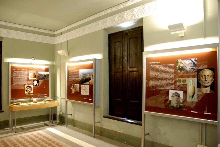
The permanent exhibitions of Can Saragossa
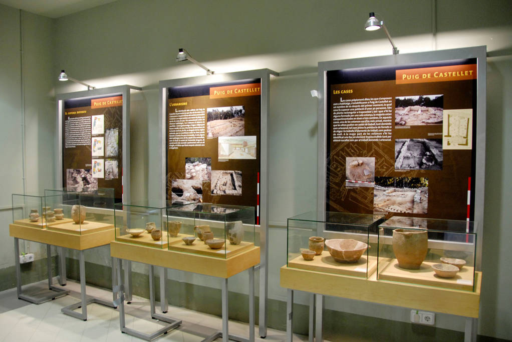
The Iberian world in Lloret de Mar
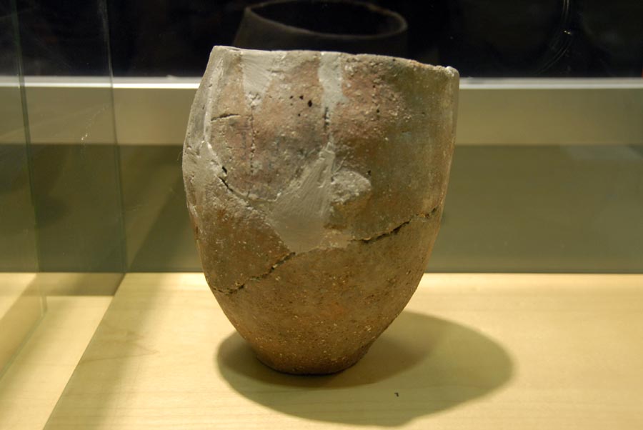
Between the 6th and 3rd centuries BC, the south and east of the Iberian Peninsula witnessed the development and golden age of Iberian culture. Iberian society was largely agricultural and sedentary. They lived in hilly, fortified settlements, composed of houses with stone bases, mud walls and thatched roofs. This level of urban development, albeit incipient, involved a certain amount of hierarchical structuring and specialisation of a society that was fostered by trade, which the Iberians mostly carried out by sea with Greeks and Carthaginians. From a technical and cultural perspective they made significant advances, including pottery, at which they became real experts, and ironwork for tools and weapons. However, although the Iberians shared a single culture, they were politically disunited due to the nature of their society and their economic system. Infighting was frequent. As such, they were essentially a warrior people, which meant that defensive elements in their settlements were absolutely necessary.
Montbarbat Settlement
The Montbarbat Iberian settlement is located at a summit of the mountain of the same name (part of the Catalan Coastal Range) with an elevation of 331 metres, on the north-western edge of the municipal district of Lloret, on the border with Maçanet de la Selva. It therefore enjoys a strategic location, a vantage point with a commanding view of the entire Selva depression, the sides of the mountains that surround it (Montseny, Cabrerès and Guilleries), the western part of the Gavarres and all of Lower Tordera. As such, two of the most important communication routes in the county were controlled from Montbarbat. One was the Via Heraclea (subsequently the Roman Via Augusta), which connected the Iberian Peninsula to the rest of Europe. The other was the maritime-river route that connected the coast to the inland areas of the country along the axis of the Tordera River and its tributary, the Arbúcies Stream.
Puig de Castellet Settlement
The Puig de Castellet Iberian fortified enclosure is located 2 km to the north of the town of Lloret de Mar, right next to the Roca Grossa housing development. It stands on a spur located on the western slope of Puig de Rossell at an altitude of 197 metres, on a small flat area close to the summit, visually hidden from the sea by the highest part of the hill itself. Its strategic location makes it a vantage point with a commanding view of the coast from the Tordera Estuary to Lloret Beach and of the entire surrounding plain. It also has a direct view of the Iberian settlements of Montbarbat, Turó Rodó and Turó de Sant Joan in Blanes.
Turó Rodó Iberian Settlement
The Turó Rodó Iberian settlement is situated on a 40-metre-high promontory located a short distance to the north-east of Lloret de Mar. Its eastern and southern sides are on a cliff edge overlooking the sea while its western side leads down to Sa Caleta Beach and its northern side is joined to terra firma by a 50-metre-wide isthmus. It was therefore an easy place to defend, with a wide field of vision over Lloret Beach, the surrounding plain, a long stretch of coast and the elevations of the Catalan Coastal Range that enclose this part of the Costa Brava.
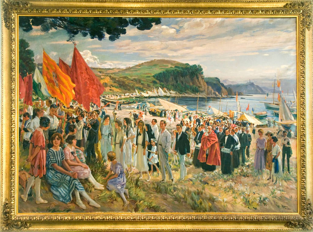
Temporary exhibition gallery
Temporary exhibitions, primarily paintings, can be visited on the second floor. It is currently closed for the preparation of a new exhibition.
Photo gallery